The idea of spending four days hiking Yellowstone's back-country sounded like pure Hell to both of us. Yet, there we were at the west entrance, scarcely four days after stumbling out of the High Uintas.
We felt like we were living one of those gimmicky trip reports in backpacker magazine. You know, the ones with titles like "7 National Parks in 7 days", or "One Week, 12 Peaks". Really, what we were planning was crazy. Crazy for a couple out of shape 30 something's, anyway.
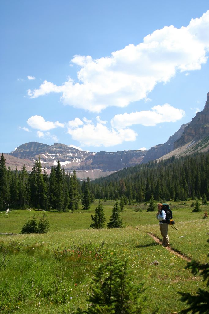
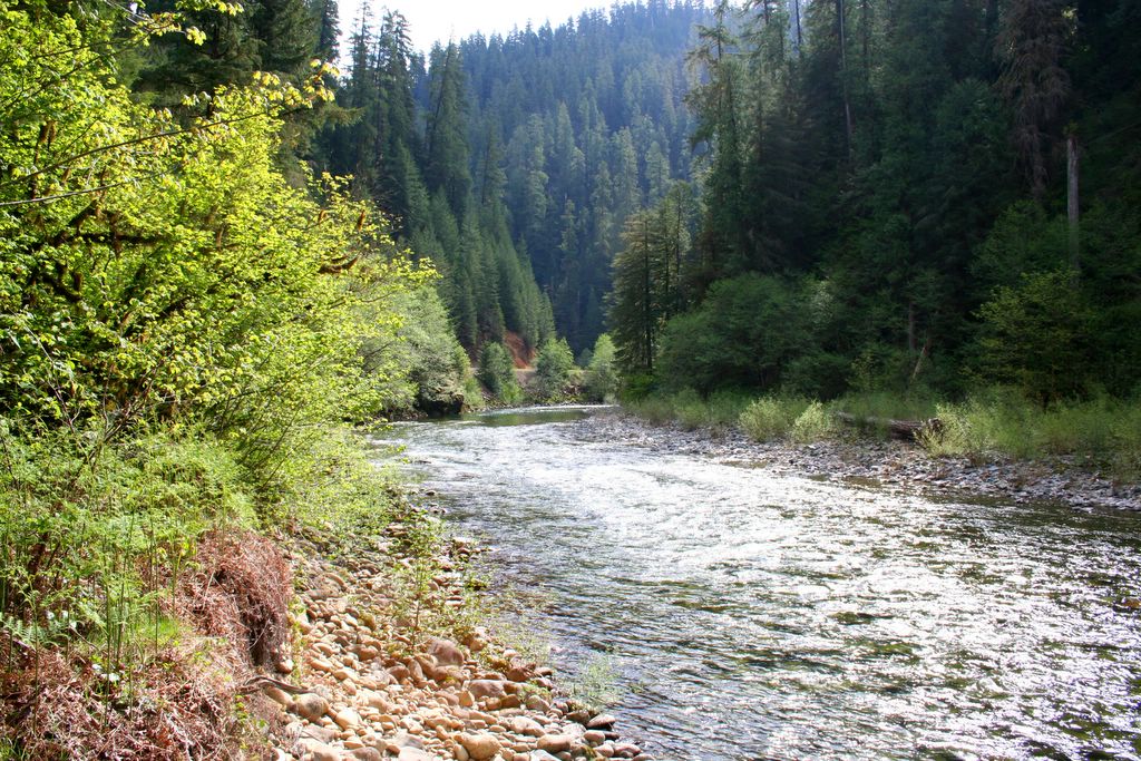
The original plot involved hiking the entire 12 mile length of the Pebble Creek Trail on day one, slogging another12 miles to Shoshone Lake via the Lewis Channel trail on day two, completing the 9 mile round trip to the Beaver Ponds near Mammoth on day three, and finally climbing 6 miles to the top of Mt. Washburn from Dunraven Pass before leaving on the fourth and final day...all this after having just endured an 18 mile puke-fest in the Utah high country.
No more than five minutes inside the west gate we hit our first wildlife jam. People were abandoning their vehicles on the highway, making for the Madison River below, and traffic was completely snarled in both directions. Knowing we wouldn't be going anywhere anytime soon, we followed the crowd into the trees to see what had created all the fuss. I was expecting a grizzly sow with cubs, maybe even a pack of wolves for all the commotion. Naah...just a small group of cow elk trying to cross the river. We laughed, snapped a few pictures of the old girls in the water and moved on as soon as the mob began to break up.
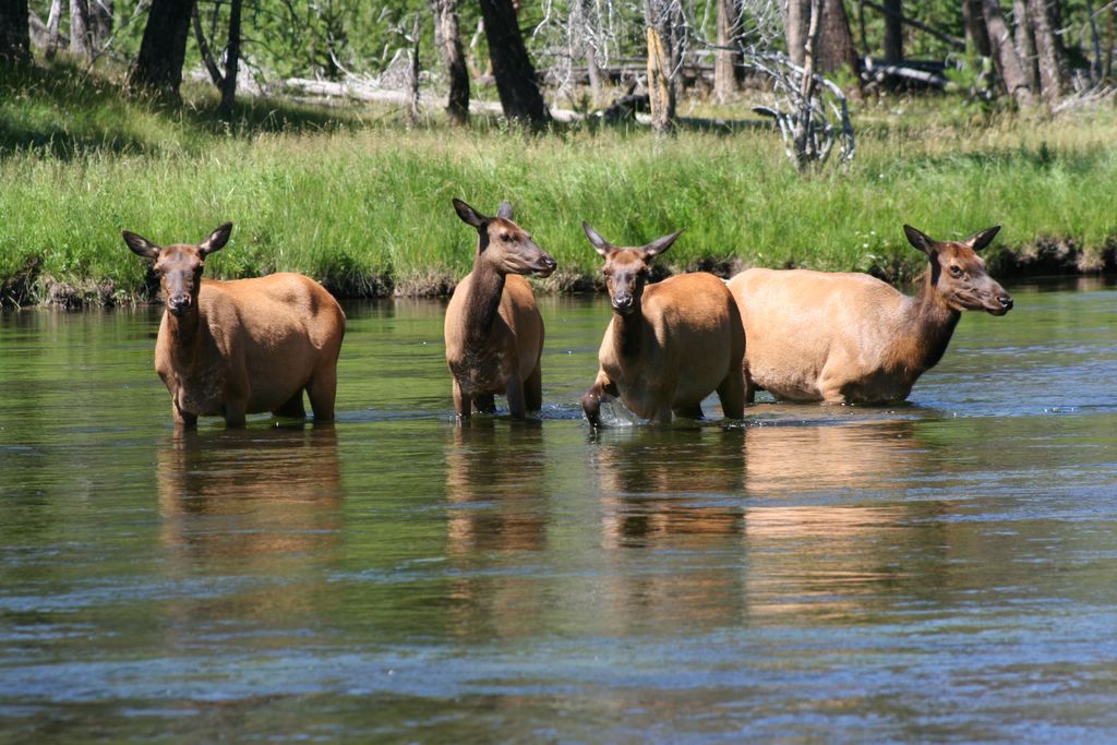
Elk Cows...
The morning air was the perfect temperature, and the windows down cruise across the park, and into the Lamar Valley seemed to steal what little resolve I had to battle the rugged Yellowstone back country for the rest of the day. Pulling up to the trailhead at Pebble Creek I was still willing to give it a go for Shauna, but when she sat there motionless and glassy eyed instead of rifling through the cab for her gear, I knew it wasn't going to happen. The next few minutes went something like this:
Sterling: Are we gonna' do this?
Shauna: That's why we came, isn't it?
Sterling: Yip...let's do it!
Shauna: Let's do it!
Five Minutes later...
Sterling: Do we really want to do this?
Shauna: Sure...(yawn...stretch...).
Sterling: Alright...let's hit it!
Five minutes after that...
Sterling: We could do a shorter hike today if you wanted...see how we feel tomorrow...
Shauna: Good idea!
Sterling: Trout Lake is only one mile round trip.
Shauna: Trout Lake it is!
Yeah, we're diehards!
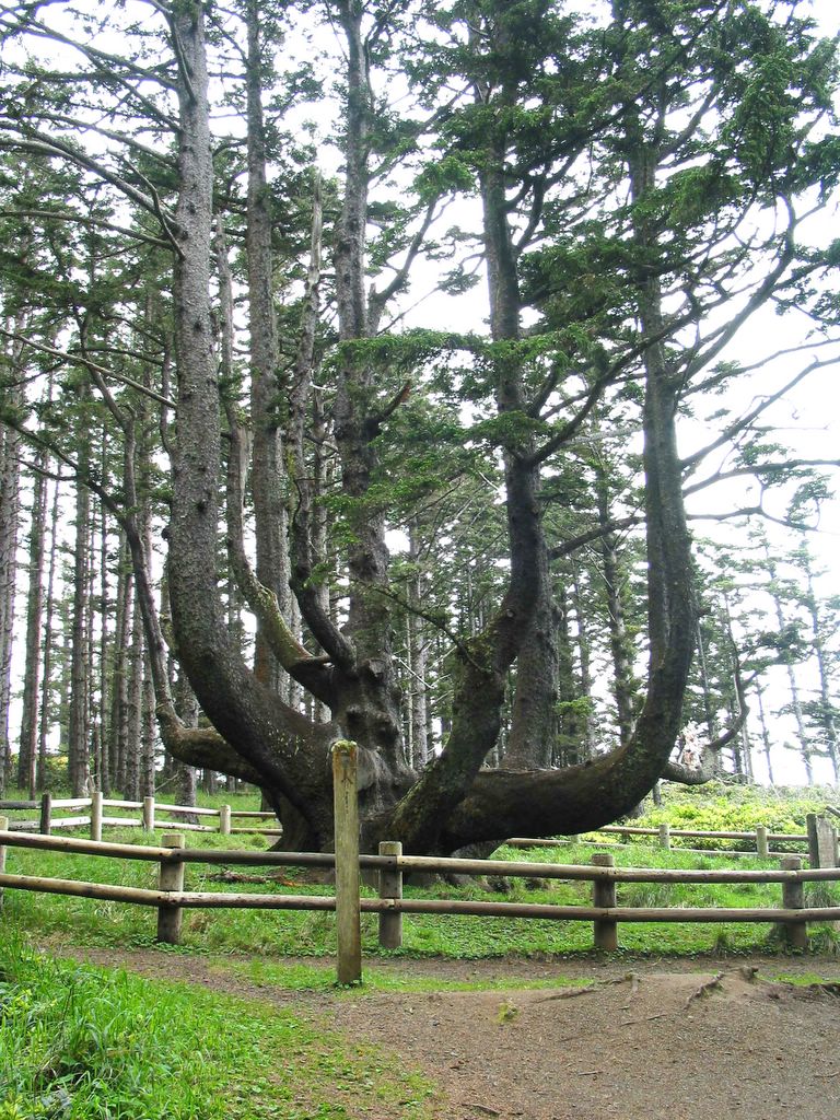
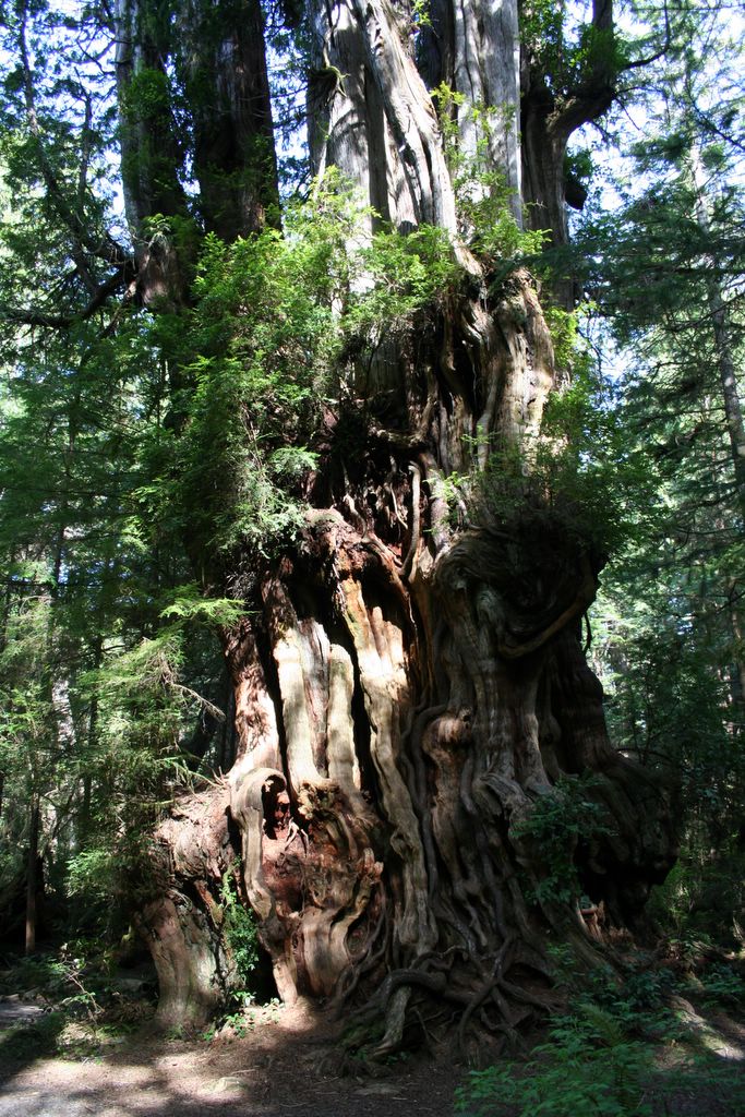
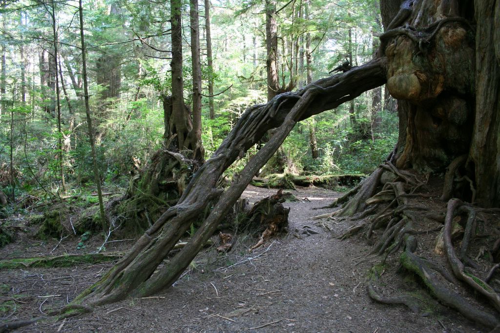
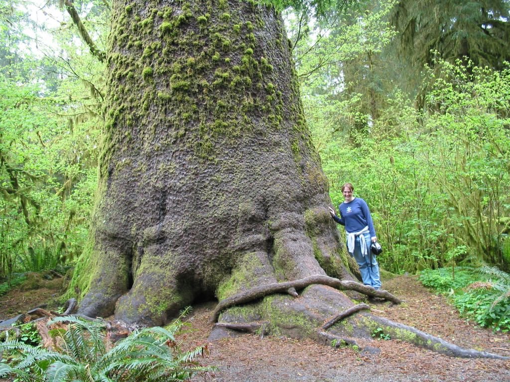
The path to Trout Lake ascends a steep ridge through some impressive stands of Douglas Fir. One tree in particular rivaled even some of the Coastal Doug Firs we had seen in the Pacific Northwest for sheer girth. It was a beast.
The short climb was over as quickly as it had begun. The lake was pretty, and true to its name there were big, thick trout lurking just beneath its crystal surface. We circled the lake, taking pictures as we went.

Trout Lake...
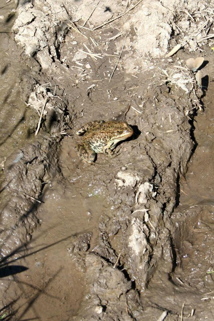
A frog...

Shauna and a big Douglas Fir...
It was lunchtime when we finally got back to the truck, so we decided to make for Tower Falls and see what sort of grub could be found there (our peanut butter and granola sandwiches we had made for the hike didn't sound nearly as appealing as one might think), and plan the rest of the afternoon.
Near Roosevelt, a group of about ten riders crossed the highway on horseback, and Shauna casually mentioned that it looked like a lot of fun. About a mile further down the road we spotted a stable next to a corral, and a big sign advertising horseback tours. We pulled in, checked it out and made reservations for the next morning. So Much for Shoshone Lake and the Lewis Channel Trail, I guess.
Over hotdogs and large cokes, we began to realize that our itinerary resembled a death march...not a vacation. And while we weren't about to let ourselves become two more Yellowstone tourists whose only chance of seeing wildlife was by bumping into it on the road, we weren't going to let our little getaway become drudgery, either.
We decided that we'd play the rest of our time by ear...go wherever we felt like going, do whatever we felt like doing.
We left Tower Falls and headed north through Roosevelt, then east, for Mammoth, visiting a few of the thermal features in the area.

Mudpots South of Mammoth...
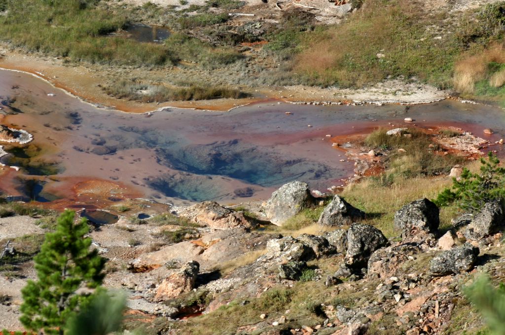
Hot springs...
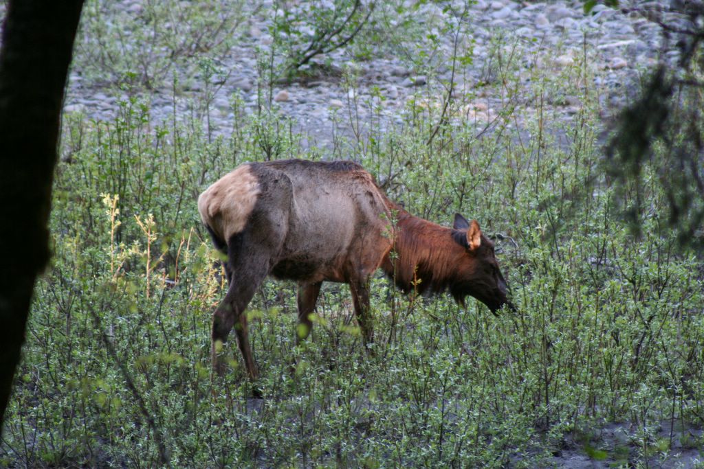
A few miles south of Mammoth we ran into another, even bigger wildlife Jam. This time it was obvious what was creating the chaos. A big bull elk was making its way across an open glade a couple hundred feet off the road, bugling and scratching itself as it went. A few lame tourists got too close, though, and a park ranger made everyone clear out.

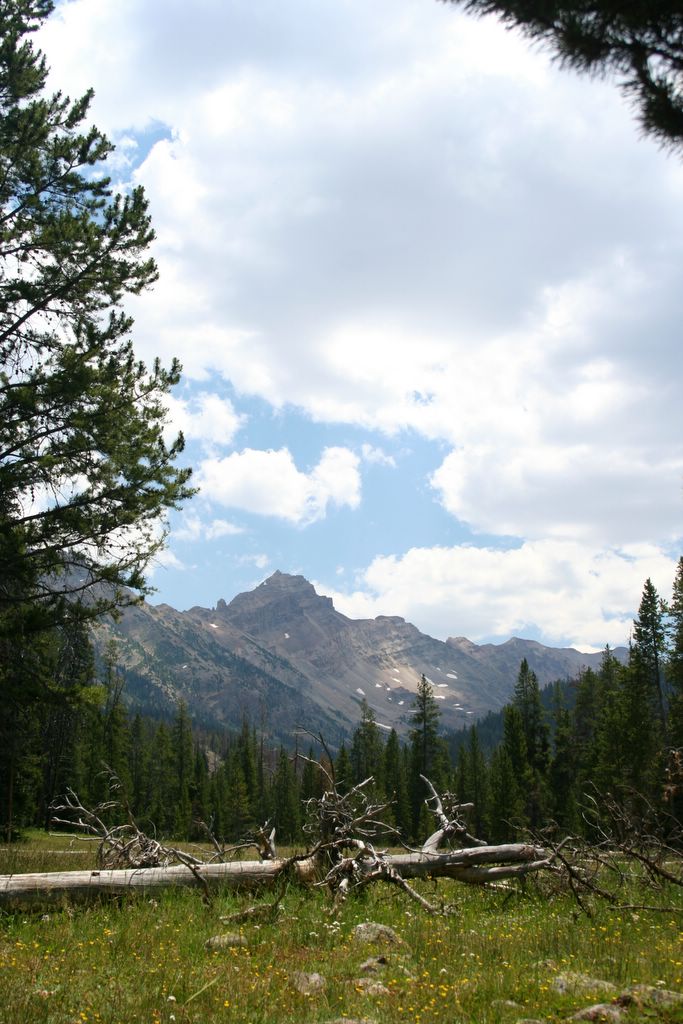
Instead of continuing south, we turned north again, through Mammoth, and out the north gate. We followed highway 89, along the foothills of the Absaroka range, into Lewiston, Montana. I’d never even heard of the Absarokas before this little diversion. They’re one of the most spectacular ranges in the western United States…one part Sawtooths, one part Tetons. I suspect they’re a local secret, like the Uintas, or the Wind Rivers. We hope to check them out next summer.
From Lewiston we hopped on the 90 towards Bozeman. From Bozeman we took the 191 south, back into the park. It was getting dark, so we rolled into west Yellowstone for the night.
Stay tuned...we're just getting warmed up!


