Tuesday, July 11, 2006

The western side of the Olympic Peninsula gets more rain than just about anywhere else on earth. Seriously...like 12 feet of precipitation annually. This, combined with the moderating effects of the Pacific Ocean on seasonal temperatures, makes for ideal growing conditions for several species of trees. Especially Sitka Spruce, Western Red Cedar and Vine Maple. The west trending valleys of the Bogachiel, Hoh, Queets and Quinault rivers represent the last truly great expanses of virgin old growth temperate rainforest in the Pacific Northwest.

We stayed on the 101 through Forks, then onto the Hoh River Road. We stopped at a little place called the Hard Rain Cafe. It's a family operation that serves great burgers and fries, typical diner stuff. We chatted with the owners (a young German/American couple) for a few minutes while we ate, then we moved further down the road.

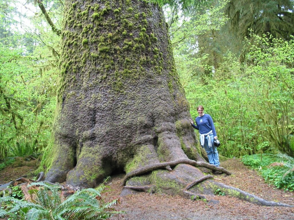
We stopped again at a pullout just inside the Park boundary, looking for a restroom. There weren't any restrooms, but there was an enormous Sitka Spruce. I took a picture of it not knowing that it was the famous Preston Macy tree. The sixth largest Sitka Spruce on the planet.


Shauna and the Preston Macy Tree...

We expected large crowds at the Hoh ranger station, but we found ourselves nearly alone again. Once on the trail, we might as well have been the only people on earth. Early May is a great time to visit the Peninsula!

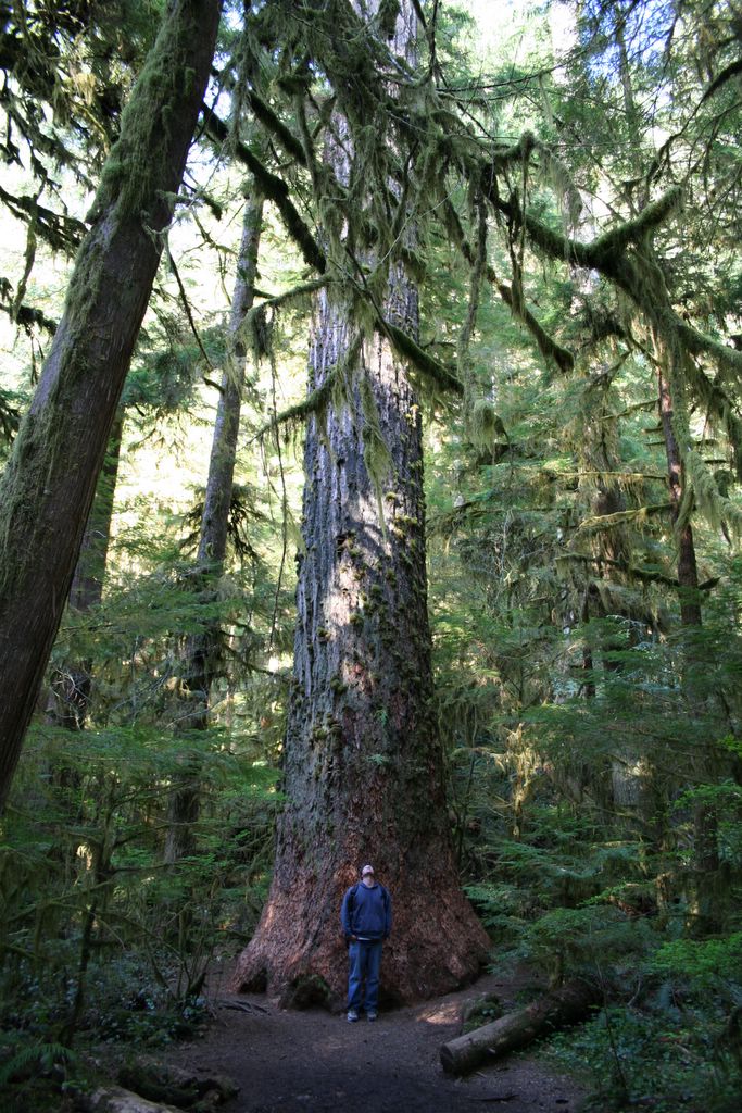
If shady Lane felt ancient, the Hoh seemed positively primordial. Moss hung from literally everything, and the trees (especially the old vine maples) took on massive, gnarled shapes. I snapped a few photos along the way.


The Hoh...

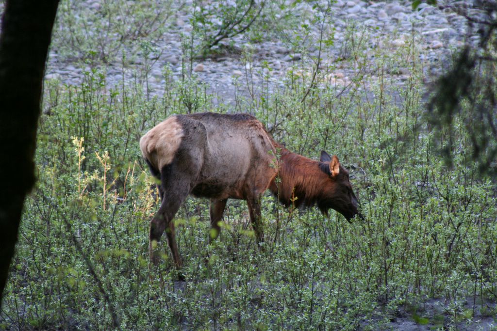
A few miles up the trail we bumped into an entire herd of Roosevelt Elk. It was hard getting pictures of them through the undergrowth without spooking them, but, I think a couple turned out alright.


After hanging out with the elk for a while, we turned around. It was already early evening and we hadn't made any sleeping arrangements for the night. We decided to head down the coast a few miles and check out the Kalaloch Lodge before it got too dark.

We arrived at the lodge at sunset...man it was ugly!


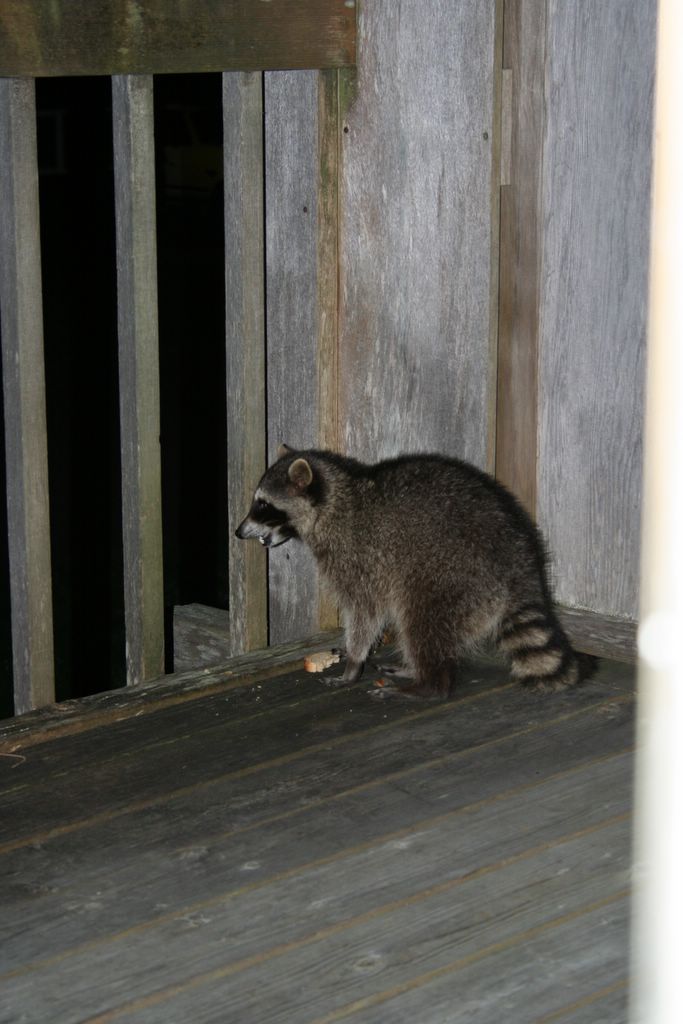
Fortunately, there were some vacancies and we checked into a bungalo overlooking the beach. We had only been there for a few minutes when this little bandit strolled onto our deck.


He came up to the sliding door, begging for food. We fed him a couple slices of bread and a few loose grapes for good measure. We're terrible.

In retrospect, this day lasted forever. We woke up freezing in the Sol Duc, hiked the morning away in the woods, burned the early afternoon near Sekiu and Cape Flattery, and spent the evening in the Hoh Rainforest.

This was a good day.

Tuesday, June 27, 2006

From the Sol Duc we switched into full wander mode. We cruised down the 101 to Sapho, where we strayed onto the 113, North through clear-cut country. A sobering tour, indeed.

I'm not a rabid environmentalist, but, I like trees...especially the big ones. And as a geologist I'm not a big fan of clear-cutting (erosion and stream sedimentation are huge problems wherever clear-cutting is practiced). I squirmed every time we passed a bare hillside, and I cringed at the number of gigantic stumps (some better that 15 feet across) that we saw along this short stretch of highway alone. These were once among the largest, oldest trees on the continent (only the Redwoods and Sequoias are bigger), and they are all gone. No living Specimen of Douglas Fir, Sitka Spruce, or Western Red Cedar compare to the ones harvested by the logging companies during the early part of the 20th century. Today's trees are mere table scraps left by the lumber industry as it feasted on the forests of the Pacific Northwest.

To protest too much, though, would make me a hypocrite. I live in a house made of wood likely harvested from this region. Most of us in the western U.S. do.

Anyway, I'll hop off my soapbox now...

From the 113 we rambled onto the 112, towards Clallam Bay and Sekiu. In short, this stretch of coast is what we had expected the Dungeness National Wildlife Refuge to be like...critters everywhere! From the road we watched bald eagles cruise the shallows for fish. It was low tide, so we hopped out of the car west of Sekiu and explored tide pools the likes of which I have never seen. There was more life packed into these little pools than, well...silly metaphors will almost certainly fail me here, so have a look for yourselves.


...


...


...


How many things can attatch themselves to the bottom of a rock? 4 starfish, a sea urchin,
a couple gastropds, and somehing I'd never even seen before in the upper left hand corner...


...


A couple Hermit Crabs...

Eventually, we hopped back onto the 112 and made for Cape Flattery, the Northwestern most piece of real estate in the Continental United States. We passed through the Makah Indian Reservation, and along a crappy dirt road to a lookout point. In the end the cape was nice...we forgot to take any photos, but, it was cool enough. Nice views of the coast to the South.

In truth, we were still buzzing about the tide pools. Neither of us remembers too much about the cape, it seemed like a bit of a let down after such a punishing drive to get there.

From the Cape we retraced our route back down the 112 through Sekiu, and the 113 to Sapho. In Sapho we hopped on the 101 for Forks, and the west side of the peninsula.

Sunday, June 18, 2006

I've driven much of the 101, and the twelve mile stretch along the south shore of Lake Crescent, west of Port Angeles, is perhaps my favorite. Steep mountains and prolific old growth surround the lake on all sides, and rise from the water skyward. If there is a more scenic stretch of highway on the planet I have never seen it.

Lake Crescent is glacially formed and some 600 feet deep. A fact I tried to forget as we navigated the winding s-curves above its dark waters. I wondered, as we drove, how many people had flown off the pavement staring at the scenery along this bit of road. I endeavored to avoid becoming one of them.

We stopped to take care of a little business at the Lake Crescent ranger station, where we spotted the trailhead to Marymere falls. Remembering the nice things our Falcon Trail Guide had said about the short hike and the falls, we threw on our hydration packs and started up the path.


Lake Crescent from near the Ranger Station...

The trail picked its way through a stand of very big Douglas Fir and Red Cedar until it reached a footbridge spanning Barnes Creek. From the bridge it ascended a series of steep switch backs up to the falls.


A gigantic fir near Barnes Creek...

It was strange. There we were at Marymere Falls, an idealic natural setting, enjoying another perfect afternoon. We were less than three hours from the biggest metro area in the Pacific Northwest, yet we were completely alone. It wasn't as though we had wandered into the wild interior of the park...we were no more than a mile from a major freeway. Still, all we could hear was the roar of the falls and the chatter of little birds in the canopy. Where was everybody? I had wondered the same thing at Shady Lane, Staircase Rapids, Murhut Falls and Jefferson Lake. I'm not complaining, we loved having these places to ourselves. I couldn't understand, though, why these edens were so deserted and Port Townsend had been so overrun by tourists.

In any event, Marymere Falls was well worth the diversion. I was amazed that such a beautiful place was also easily accessible. We hung out there for awhile, took a few photos, and moved on.


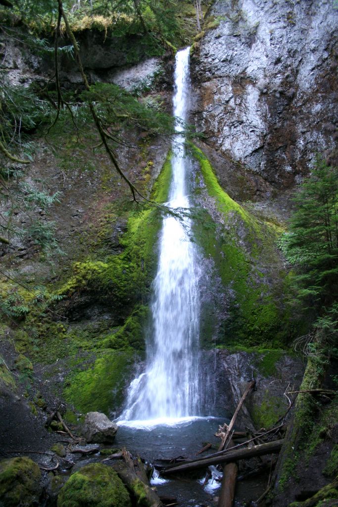
Marymere falls...

From the ranger station it was only a few miles to a well marked road leading to the Sol Duc falls trailhead. This road was a little longer than we had anticipated (or, perhaps the scenery was a little cooler than we had expected), and we arrived at the trailhead later than we had planned. Instead of rushing the hike we thought we'd try to find a camping spot nearby and hit the trail at first light the following morning.

We rolled into the Sol Duc Campground and claimed the first available flat spot on which we could pitch our tent. After a dinner of canned corn beef hash and spaghettios, we discovered we hadn't packed our ground cover pads. Knowing we wouldn't catch a sinlge wink on the rocky soil without a little something, we made for Port Angeles and the Wal-Mart there. We picked up a couple cheap air mattresses and flew back down the 101, past lake Crescent in the dark.

Creepy!

I was pretty sure we were going to run over bigfoot as we rounded each hairpin along the way. It was nearly 11:00 pm when we finally pulled up to our campsite again, and we wasted little time inflating our Wal-Mart specials and laying out our sleeping bags.

We'd bought a lot of new gear for this trip in anticipation of the torrential rain we were sure to encounter on the peninsula. Among these purchases was a pair of super compact 30 degree Slumberjack mummy bags. Naturally, neither of us had actually slept in them before. We believed the 30 degree comfort rating as if it were law, decreed by the camping gods. Big mistake. It was the most uncomfortably cold night I've ever spent anywhere (this coming from the guy who at 12 years old shivered for four days and three nights in a snow cave at 10,000 feet with only his 100% cotton G.I. Joe slumber party bag for warmth). Cold air poured in through the slumberjack's zipper, and countless other places, too. I doubt I'd have been any colder if I had shed the bag entirely. What a worthless piece of crap.

I expected the world to be covered with a thick layer of frost when morning finally cracked over the mountain tops...surely it had to have been damn near zero, right? Instead, we arose to find our campground neighbors telling each other how well they had slept, and how refreshing the crisp air had been to sleep in (not a spec of frost anywhere). You've got to be kidding me! These guys had slept under the stars with nothing more than a blowup mattress and a couple quilts thrown on top for good measure. 30 degree comfort rating my back side!

Next, A few friends wandered into camp while we were taking down the tent.


These little sitka black tail deer had no fear of us whatsoever. I guess they've never been shot at inside the park. I couldn't tell if they were looking for a handout, or if they just liked the tender chutes of grass growing alongside the campground road.

Anyway, we figured the best way to warm up was to hit the trail. We packed up our crap and drove the half mile or so back to the Sol Duc Falls trailhead.

A few hundred yards down the path I began to realize that the entire park, all five trillion square miles of it, must be this spectacular. I tried to stop being amazed by everything I saw, but the old growth here was unreal, and the falls were even better than I had expected.


Sol Duc Falls...


From the falls we followed an unmarked trail along the river for a few miles.


We strolled through the timber, off the trail for what seemed like hours. Notice the big can of bear spray in my left hand. I had been hearing suspicious sounds all morning and I was feeling a little jumpy.

We found our way back to the trail, and the car by mid-morning. The sun was shining again, and we were finally warm (no thanks to slumberjack). I'd like to have spent a few more hours bushwacking near the river, but for the first time on the peninsula the crowds had caught up with us. An entire bus load of pre-teen campers had arrived at the trailhead.

We consulted our trusty books and our mega-map and moved on.

Saturday, June 10, 2006

We left the Olympic Game Farm pretty jazzed. The weather was perfect, again, and we couldn't believe our luck. We were on a roll. Up next up...the Dungeness National Wildlife Refuge. We'd heard and read some pretty cool things about the place, so we were eager to check it out.

We were intercepted at the trailhead by a trio of very friendly, and very elderly park volunteers (all veterans of either WWII or the Korean War) and they told us a little about the place, even a couple things we hadn't gleaned from our reading. We were expecting big things as we made our way down to the surf.

The refuge is essentially a giant spit, a narrow swatch of rocky beach protruding from the shore into the Straight of Juan DeFuca. We were told to watch for migrating whales, and sea otters playing off shore. We were also warned about the thousands of shore birds that nested on the beach. I was expecting to see an explosion of wildlife as we strolled down the spit towards the Dungeness light house in the distance (is it unreasonable to expect such things from a national wildlife refuge?). How many animals did we actually see? Not a single, solitary creature. Not so much as a seagull, or even a crappy busted up sand dollar.

I'm not sure what happened. Maybe it was the wrong time of year, the wrong time of day, or the fact that I hadn't worn deodorant since Shelton. I don't know. Ultimately, the only redeeming things about the Dungeness National Wildlife Refuge were the park employees, and the views we got of the Olympic Mountains to the southwest.


We wasted little time making our way off the spit, and onto the 101 for Port Angeles. From town, we made for the national park entrance, and the road to Hurricane ridge. We went from sea level to ski level in less than an hour. The drive up to the visitors center is one of the coolest on the peninsula. The views of the interior of the park from this elevation are, well, you know the old saying...a picture is worth a thousand words.


There, now this post is like 4,000 words shorter than it would have been otherwise.

I wish we had been there later in the day. These images would have been alot better in the evening light, but, we didn't want to burn the rest of the afternoon at the visitors center waiting for the shadows to lengthen and the colors to warm.

So, we snapped these flat, blue abominations and moved on.

Sunday, June 04, 2006

Somewhere between Shelton and Port Townsend, Shauna picked up a little brochure for the Olympic Game Park. There was a brown bear of terrifying proportions on the cover, and pictures of all kinds of exotic fauna on the inside. It wasn't on either of our lists of things to see on the peninsula (we'd never even heard of it before), but it was close enough to The Dungeness Spit (something we had planned to see) that we couldn't help ourselves. There was a nice map on the back of the brochure, and we found it with very little trouble.

I must admit to being a little dubious pulling up to the place. It all seemed a little dumpy, a little cheesy, and I wondered if it could possibly be worth the 20$ price of admission. I was positively concerned, however, when they asked us to sign a vehicle damage waiver. In retrospect, all I can say is buy plenty of bread at the gate, remain in your car at all times, and don't tease the buffalo!

From the gate we followed the narrow gravel road up a hillside, where we were greeted by a couple rangy looking lamas, and a few dozen prairie dogs. Not particularly exciting, yet.

Next, the road dropped down the hill, and suddenly we were surrounded by a herd of yaks (yes, the infinitely smelly wild cousin of the domestic cow!), all poking their heads into our rental for a morsel of bread. We fed them for long enough to get yak spit and yak snot smeared from one end of the Escape to the other, before moving further down the road.


We passed a gigantic old white Rhino in his own enclosure, and a wild hawk perched in a tree above.


The rhino...


The Hawk...

I came to the park expecting to see one, maybe two really big brown bears. They have like 20 of them! All living and interacting in gigantic enclosures. These aren't enclosures in the conventional sense, though. Really, all that separates you from these 1300 pound relics of the ice age is a 4 foot tall wire fence and a pathetic looking string of electrified wire scarcely 3 feet off the ground. No metal bars, no moats, no concrete barriers. It was a little spooky at first. There's little doubt that any one of them could have jumped, or destroyed the fence at any time.


That bear bringing up the rear is a giant; half again bigger, perhaps, than any of the others.


He appears to have gotten into it with another bear, though. His scalp is sliced wide open, down to the skull. Gnarly!

We fed the bears until the three loaves of bread we had bought at the gate were completely gone. I felt like we were playing with big, happy dogs. Some of them were doing tricks, waving, and rolling over to get more food. It felt like we could walk right up and scratch them between the ears. I had to remind myself that these brown bears are the largest, most volatile predators on the continent.


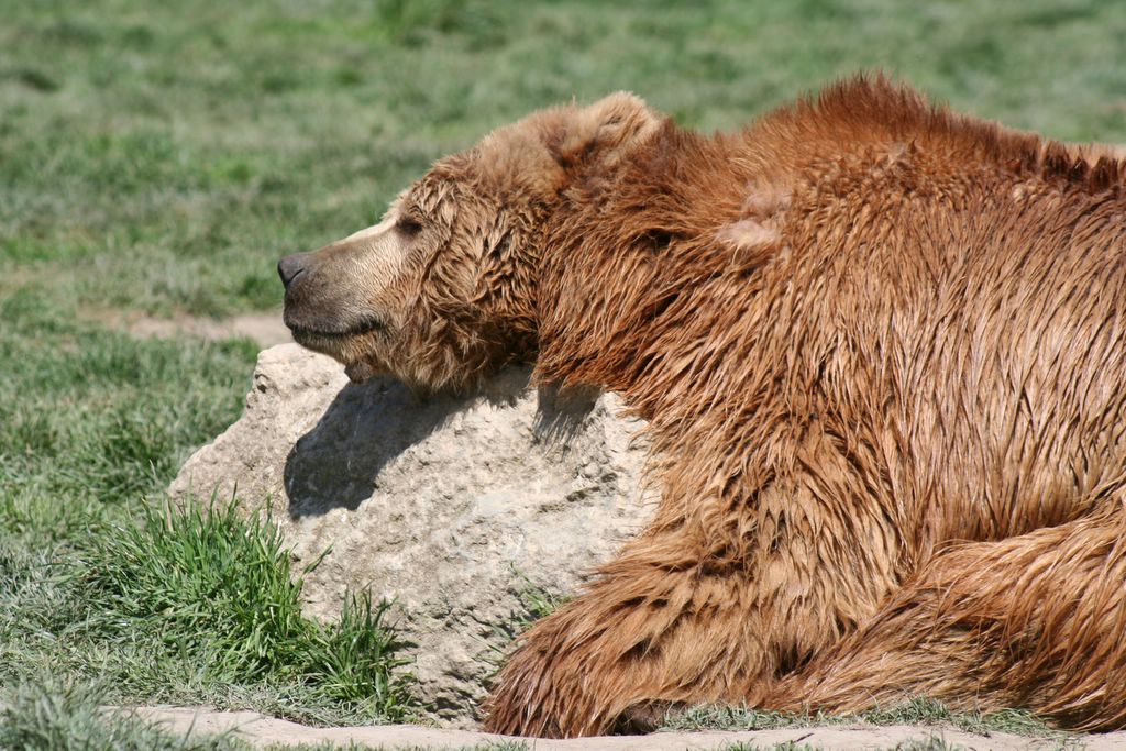
Hard to do when they look like this!


And this...


And these guys...

After the bears, we drove through several rows of enclosures containing cougars, wolves, bobcats, lynxes, coyotes, lions and tigers. It was all very cool, and we got to watch a buffalo beat the crap out of a Toyota Camry before leaving.


This is the big guy that dislikes Toyotas, or maybe yuppies, who's to say?

In the end, the Olympic Game Park felt like a bargain at 20$ per vehicle. There's so much more than just bears. The temptation is to post every photo of every animal that we saw, but, that would be indulgent (like this whole blog isn't completely indulgent?) and probably a little boring. Besides, I'd hate to spoil it for everyone.

Two thumbs way up for the Olympic Game Park.

Monday, May 29, 2006

Port Townsend was everything we'd ever been led to believe it was, and then some. Charming, quaint, scenic, historic (the history of Port Townsend is fascinating), you pick the adjective. Add to these crowded, touristy, pretentious, expensive, and you begin to get a feel for the place. The whole thing is cute as a button (damn, did I really just use the phrase "cute as a button?"), and they know it. It's sickening. Shauna loved it!.

We pulled into town right about dinner time, and I was surprised at how congested downtown was for "the off-season". We wandered around for a while, touring some of the cooler Victorian aged homes and buildings, looking for someplace to eat. We decided on a bar and grill called "Finns", but, decided against it after being informed of the 2 hour wait to be seated. Instead, we walked across the street to "The Public House", another bar and grill, with the rest of the plebians. The food was alright, if not more expensive than I would have expected from a dining establishment making overtures to the common folk. After dinner, we found a cheap room at the Aladdin Inn, right on the water.

The next morning we found a laundromat, and threw Shauna's wet things into a dryer. A friendly attendant mentioned a place called Ft. Worden State Park, where she alleged there was a really well preserved WWII vintage bunker that they still let you wander through. Naturally, instead of reading women's magazines next to a row of noisy dryers for an hour, I suggested we check it out.

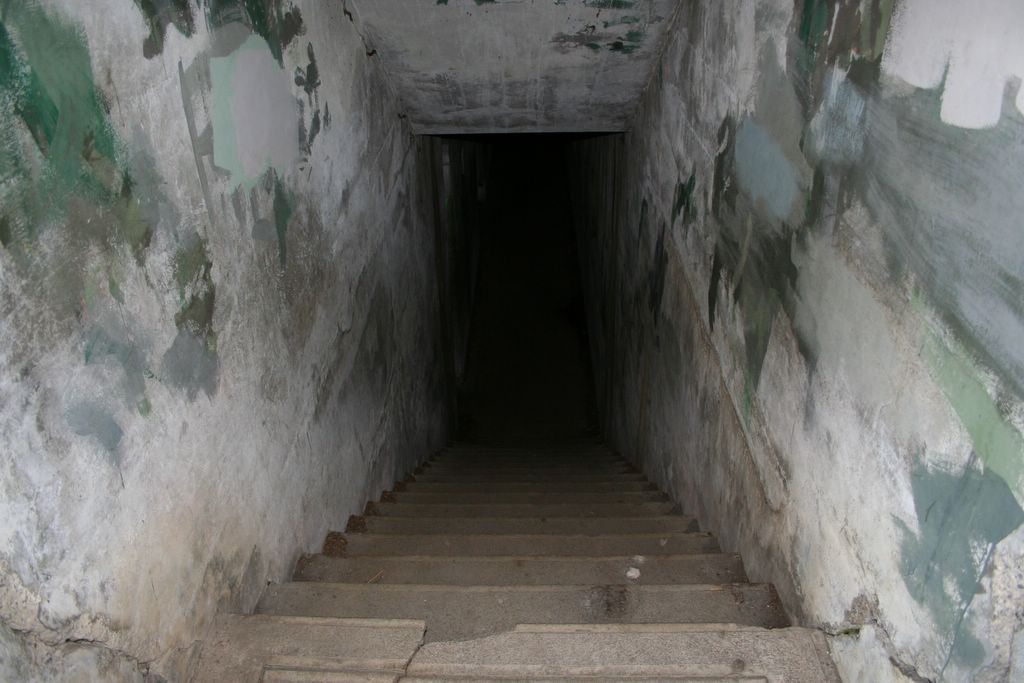
The attendant's description turned out to be vastly understated. What we found was an elaborate system of bunkers, tunnels, war rooms, barracks, big gun emplacements, etc., overlooking the Puget Sound. Here's just a few of the photos we took there.


The place was a labrynth, and we spent better than an hour getting ourselves lost. We could have stayed there all day. But, alas, we had a schedule. We'd have to adhere to it if we hoped to get around the peninsula and down the coast in the days remaing.


On the way out of the park we saw this lighthouse, and Mt. Baker some 70-80 miles in the distance. Upon our return, the attendant told us how rarely Mt. Baker is visible from Port Townsend, and how lucky we were to get pictures of it.

We had been more than fortunate with the weather thus far. It had been sunny and reasonably warm every day. I wondered how long our luck, and the weather, would hold. We'd find out in the days to come.

Wednesday, May 24, 2006

From Murhut falls we continued along the Duckabush road, up a series of switchbacks through some very tall timber (I'm guessing some of these Doug Firs were pushing 300 feet).
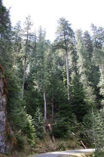

Sadly, there's no way to get a feel for just how tall these trees are without some frame of reference. Take if from Michael Finkel (my favorite adventure writer of all time) who wrote in Backpacker Magazine that "If trees could play basketball...I really think these firs could post up a redwood."
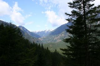

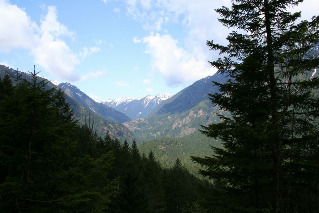
As we ascended, views of the valley opened up below us. Panoramas like this are rare in the Olympics, because the trees simply don't permit you to see very far. I like forests even better than mountains, though, so I can live with this.


That said, the peaks in the Olympics are alright too.

We climbed to a pretty respectable elevation, gawking at the old growth along the way, until a snow bank too tall to ram finally blocked our path. Defeated, we turned around and headed for the Hamma Hamma.

At first the Hamma Hamma seemed like a repeat of the Duckabush, just as the Duckabush seemed destined to be a replay of the Dosewallips. All three are variations on a theme. Narrow valleys with steep slopes, covered by dark trees. Each has a cold, swift river winding through their bottomlands to the Hood Canal, and each is as beautiful as the last.

The differences are subtle, yet tangible. Each has it's own distinctive character. What separates the Hamma Hamma from the others is the river it's self. Perhaps it was a trick of the light (there usually isn't much to be had on the Olympic Peninsula), the afternoon sun illuminating the crystal blue waters from above, I'm not sure. It just seemed to me that the Hamma Hamma River was a little more picturesque, a little more inviting than the others.

From the road we saw a sparkling little pool at the base of a small waterfall. We decided to hop out and take the short hike down to see them.

When we got there, we realized that both the pool and the waterfall were much bigger than we had thought. Because we could see the bottom of the pool from the road, we figured that it must be fairly shallow...we were wrong. The pool was easily 15 feet deep, and the falls were at least that tall. Still, despite the obvious danger, the greenish blue water and the thundering falls were irresistible, and we climbed over moss covered rocks to take some quick photos.
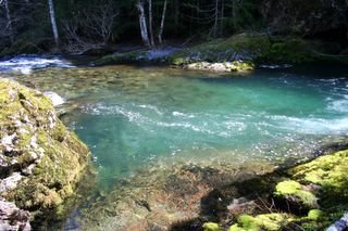

The pool...


The falls...


Shauna sitting on a moss covered boulder at the edge of the pool...

And here begins a funny tale...

Literally seconds after snapping that last pic, I ambled over and set down next to Shauna on the bank. We lie there together for awhile, I'm guessing 15 minutes or so, enjoying the scene. Inevitably, I began packing up the tripod and the camera, while Shauna stood up to go.

As she made her way across the moss covered rock, I watched her right foot slip into a 5 to 6 inch deep pool on the river; and I think to myself "Man, she's gonna' get her foot wet...I hope she packed an extra pair trail runners, or something."

Much to my (and Shauna's) suprise, the pool was more like two or three feet deep (yet again, the crazy clear river had fooled us) and I watched her sink up to her waist into the cold water. Still not particularly concerned, my mind says "ah crap, she's gonna' need to change her pants, maybe even her shirt, now. I hope we can find a place to dry them in Port Townsend tonight."

It wasn't until I saw her vanishing down the mossy bank that I realized she was in the deepest of shit. An invisible current was pulling her in quickly, and I knew I didn't have enough time to reach her before she disappeared completely. Somehow, and at the last possible moment, her left foot found something solid on the slimy rock that she clung to, and together we struggled to terra-firma.


This is Shauna immediately after the incident. Wet up to the neck, but no worse for the wear. I still have dreams of her slipping into that crystal pool, only in my dreams things don't always end so well.

Really, I was ready to pack it up, make for Port Townsend and regroup. Take the rest of the day off. Fortunatley, it took a while for Shauna to get changed. In that time I had recovered myself, and, apparently She had recovered herself too (or, perhaps she's just tougher than I am).

We continued up the road for awhile, taking pictures as we went. The sky was pale blue (we were having unreal luck with the weather), and the temps were perfect. I particularly liked the shots we got of a few mountain peaks that were usually shrouded in clouds and fog.


A few clicks up the road we were again halted by snow. And, once again we consulted our hand drawn wonder map and elected to try a road that promised to take us past Elk and Jefferson Lakes. Neither of us had any notion of what these lakes were supposed to look like, but, they seemed promising.

The road took us through some beautiful second and old growth stands of Douglas fir on our way to the lakes, and the mountain peaks became more and more dramatic as went.
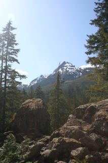


Somehow, we missed Elk Lake. We didn't see a single sign for it, and we didn't see any side roads that looked like they might take us to it. We did, however, find Jefferson Lake. It was a short, steep walk downhill from the parking lot to it's emerald waters.


Jefferson Lake...


Check out how green the water is!
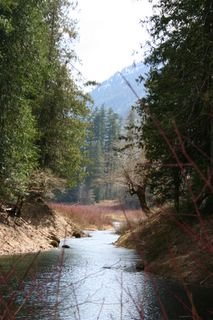


A creek feeding the lake.


There was a spectacular stand of old growth Doug Fir along the north shore of the lake. These were some of the tallest trees we saw on the peninsula. And we would see our share of very, very tall trees.

It was early evening as we left Jefferson Lake, so, we elected to finally move north, to Port Townsend. I can't say I wasn't a little melancholy as we passed through Quilcene, where we left the Hood Canal and the Eastern side of the Peninsula behind. I'm glad that we spent a little time there. That we didn't just blow through, en-route to the "real" attractions on the north and west sides. The Hood Canal is a back-woodsy (is that even a real word?) little gem that will always be among my favorite places.

Next up...the north side.